


15,8 km | 25 km-effort

Utilisateur


Application GPS de randonnée GRATUITE
 SityTrail
IGN / Instituts géographiques
SityTrail World
Le monde est à vous
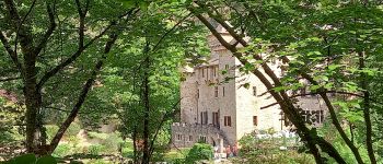
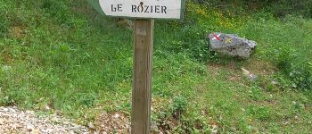
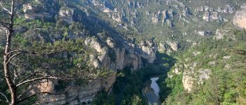
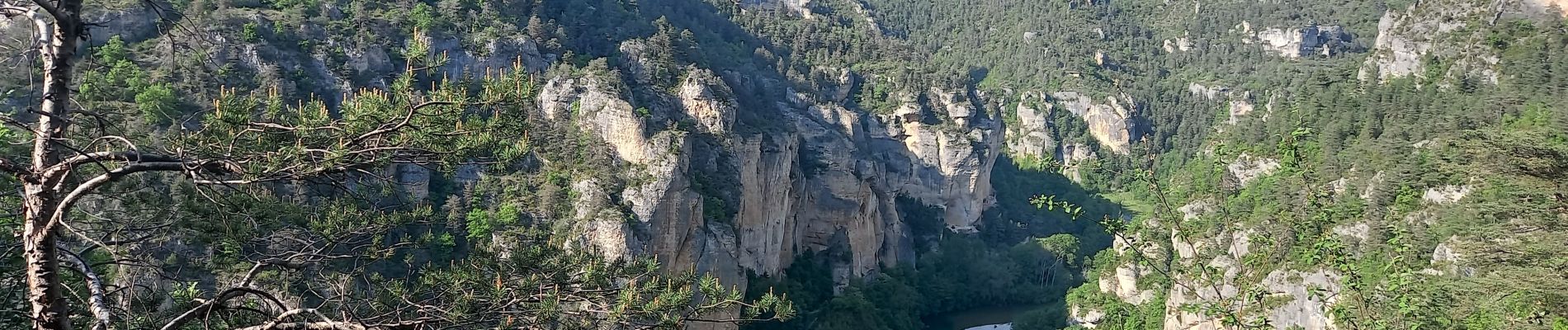
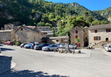
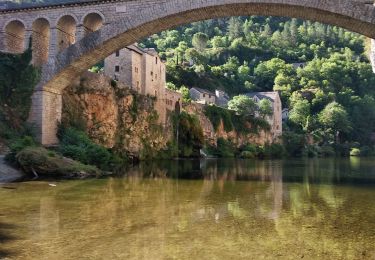
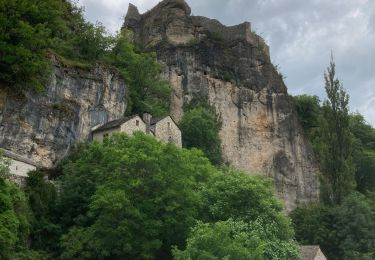
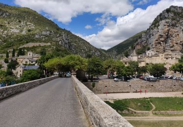
Randonnée Marche de 28 km à découvrir à Occitanie, Lozère, Gorges du Tarn Causses. Cette randonnée est proposée par canardDenis.
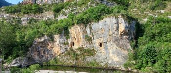
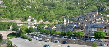
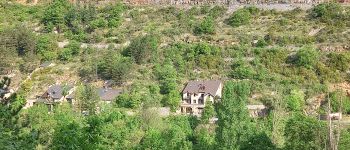
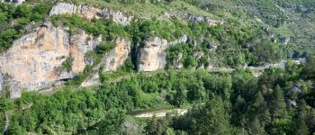
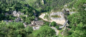
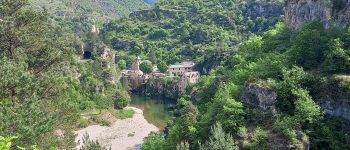
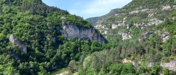
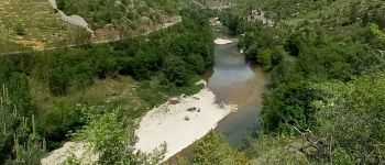
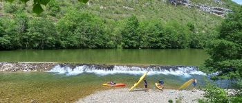
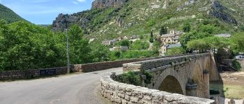
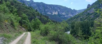
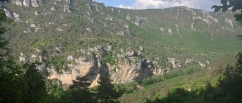
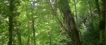
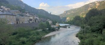
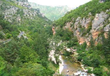
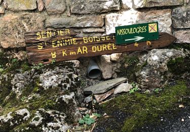
Cette 5ème étape va accompagner le Tarn au plus près, souvent au bord de l'eau dans un cadre champêtre dans sa première partie ou en balcon avec des vues spectaculaires vers la fin du parcours, toujours en Rive gauche. Du fait de sa longueur on l'appreciera mieux en la scindant en deux étapes vers La Malène par exemple.


54 photos au total. Cliquez sur une photo pour les afficher toutes dans la galerie.
Marche
Marche
Marche
Marche
Marche
Marche

Marche
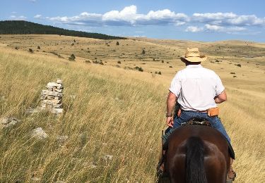
Cheval

Cheval